FAA Graphical Weather Forecasts Now Live
The National Weather Service is now providing a new product, Graphical Forecasts for Aviation, which is intended to provide a complete picture of the weather that may impact flight in the continental U.S. The webpage, which is built with modern geospatial information tools, includes observational data, forecasts and warnings that can be viewed from 14 hours in the past to 15 hours in the future.

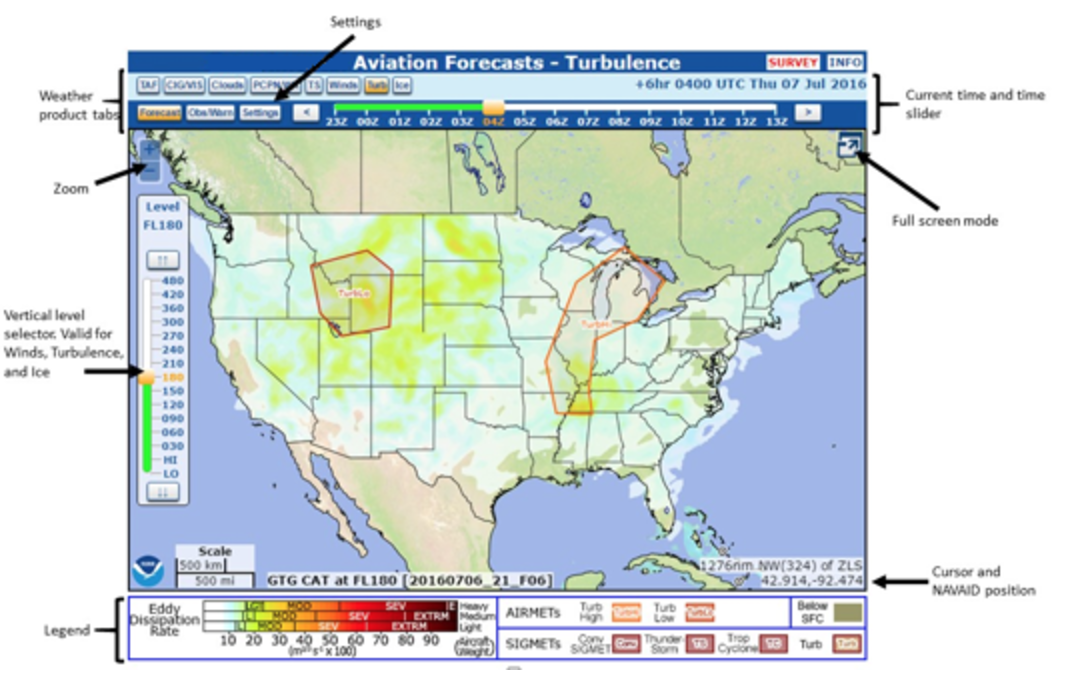
The National Weather Service is now providing a new product, Graphical Forecasts for Aviation, which is intended to provide a complete picture of the weather that may impact flight in the continental U.S. The webpage, which is built with modern geospatial information tools, includes observational data, forecasts and warnings that can be viewed from 14 hours in the past to 15 hours in the future. Hourly model data and forecasts, including information on clouds, flight category, precipitation, icing, turbulence, wind and graphical output from the NWS National Digital Forecast Data, are available. The legacy Area Forecasts were prepared by NWS forecasters, while the new GFA is automated.
Wind, icing and turbulence forecasts are available in 3,000-foot increments from the surface up to 30,000 feet MSL, and in 6,000-foot increments from 30,000 MSL to FL480. Turbulence forecasts are also broken into LO (below 18,000 MSL) and HI (at or above 18,000 MSL) graphics. A maximum icing graphic and maximum wind velocity graphic (regardless of altitude) are also available. Users can pan and zoom to focus on areas of greatest interest. The NWS has provided an online tutorial for users. ForeFlight said last month the NWS is not providing public access to all of the data used in the GFA, and said they were still working to determine how to best incorporate the GFA into their products. AVweb's sister publication IFR Magazine took a tour of the new product when it was introduced last year, which is now available online.


