CAP Concludes Ida Damage Assessment Mission
The Civil Air Patrol (CAP) Louisiana Wing announced on Monday that it has completed its mission to photograph land- and waterways impacted by Hurricane Ida, which made landfall near Port…

Image: Civil Air Patrol
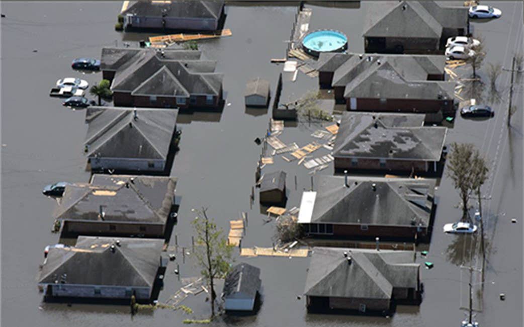
The Civil Air Patrol (CAP) Louisiana Wing announced on Monday that it has completed its mission to photograph land- and waterways impacted by Hurricane Ida, which made landfall near Port Fourchon, Louisiana, on Aug. 29 as a Category 4 storm. Since the mission launched in early September, more than 130 CAP members have participated, flying 148 aerial sorties and logging 377 flight hours. Eight of the Louisiana Wing’s nine aircraft were used along with two aircraft from CAP’s Texas Wing and one from its Tennessee Wing.
“The people of Louisiana have been through so much with Ida. After Katrina, it is the second-most damaging and intense hurricane to hit the state of Louisiana on record,” said Lt. Gen. Kirk Pierce, commander, 1st Air Force, Air Forces Northern. “We wish our neighbors well and are grateful for the opportunity to provide assessment images as a step forward in their rebuilding efforts.”
As previously reported by AVweb, the mission was undertaken at the request of the Federal Emergency Management Agency (FEMA) and the Louisiana Governor’s Office of Homeland Security and Emergency Preparedness (GOHSEP). Mission photographs covered a surface area of 1,012 square miles. CAP reports that almost 122,000 images were taken and over 6,000 gigapixels of data gathered.


