CEO of the Cockpit #66: Night Flight, Direct Rome
The amazing art and science of navigating an airliner didn’t always dwell in the clicking CPU of a black box. Even AVweb’s CEO of the Cockpit sometimes has to fly IFR — I Follow Roads.
It was the kind of night that people always think of when they envision airline flying. Clear and a million and smooth as a baby's backside.There was no moon and as we headed east over the west side of the Rockies, the only interruption from the star-filled darkness was the occasional meteor entering our atmosphere. If you want to see shooting stars, 3 a.m. over the western United States is the place to do it.Our aircraft can navigate its way in almost any corner of the world but it still is a treat to leave LAX and be cleared "direct Rome" on our way to Atlanta. Our squiggly magenta line suddenly became a razor-straight one. On the 777, you can push a button that gives you abeam points to all the fixes you had on your route before you punched direct. The 767 doesn't have that feature. To keep a little sense of where we were, I hit the navaid button on my map controller and all the little VORs came up on my display.Most airplanes with glass cockpits have hundreds of features like that. Things we used to estimate are now solid facts. It is really a throwback to an earlier age when Shannon or Gander Radio calls us and asks us for our "estimate" for 30 West. We not only can estimate the time, we usually can hit the estimate within a few seconds. It is now more of a report of reality than an estimate.
Whatever Happened to Navigators?
Anybody who is old enough to have flown on the airlines during the immediate post-war years remembers when they had navigators. The normal cockpit crew compliment back then was two pilots, one navigator and one flight engineer. A crowded workplace, but not as crowded as it was for an Aeroflot crew I met during the early 1980s in New York. Their crowd in the cockpit included two pilots, one navigator, one flight engineer, a radio operator and a political officer.After meeting them I always wondered how the pecking order went. Who got the leftover meals from the back? Did the captain get first dibs on the steak or did the political officer?Also, communications had to be pretty difficult when they came into KJFK. When they got a radio transmission, the radio operator would tell the captain about it, he would answer, the political officer would either approve or amend the answer and then the radio operator would transmit.Imagine that in the vector-a-second environment of the New York area.
The CEO Too Young?
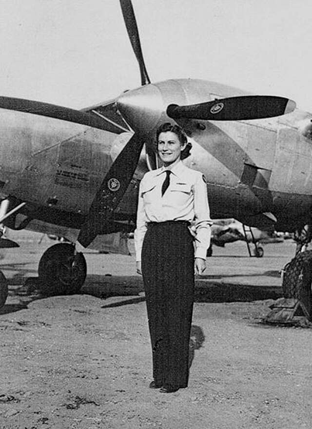
I am a little too young to remember a time when a Pan Am cockpit crew was made up of four men. That's right -- men. Women were stewardesses back then and there were a number of them that were excellent pilots when their country needed them during World War II, but were thought of as housewives after VJ day.My co-pilot, Sean, must have been thinking along the same lines because he had broken out his high en route charts and was giving them an earnest look."I can remember when I used to draw with a pencil on these," he said.You still can if you fly international. The oceanic track maps require that you plot your course with a pencil and do all sorts of writing on the chart while you are en route. As a matter of fact, the company requires you to turn the chart in at the end of your flight with the rest of your flight envelope.Your flight plan printout is important, too, when you fly overseas and it gets a lot of pencil scribbles. Things like plus or minus times for your crossing fixes, your post position plots and other data. Flight Ops looks it all over and if you either had an incident during the flight, like getting lost, or even if they randomly find you screwed it up, you'll get a call to 'splain yourself.It takes a few weeks for them to review the data, which is why we would occasionally deposit a shrimp from our meals just to add a little atmosphere to their office when they opened up the envelope.
Sean gets Nostalgic
"I used to own an Aeronca Champ," Sean began, "and the only maps, charts or navigational materials I had was an AAA road atlas of the United States."Same deal for me in my 7AC, I said. When you think about it, it makes perfect sense. I never got much above 2000 feet in my Champ and the whiskey compass was always half empty of fluid. The compass would give me a sort-of approximation of our heading, but there was almost no way to hold a course using it.So the best way I found to navigate my Champ was to find a fairly easy-to-follow highway, get low enough to read the signs and look out for power lines. The atlas was handy to sort out some of the complicated interstate highway interchanges I ran into from time to time.I'm not sure I would totally rely on a road atlas today. There is too much restricted airspace around and it keeps changing. Unless I was staying in my local area, I'd want to have a firm grip on where I might have to dog-fight an F-18."When you fly a Champ," Sean intoned, "you are always going to stay in the local area."
Center Breaks the Mood
Just as Sean and I were having a moment of bonding -- brother Champ pilots in the stratosphere, so to speak -- Center broke in to ask me a question."Triad seven two five, I can't remember, but didn't I clear you direct Rome VOR, the Rome Arrival?"Yeah. I was bracing myself for a reroute when Center said the expected thing: "Well, I guess I'm not allowed to actually clear you for the Rome arrival. Just consider yourself cleared direct Rome. And by the way, are you sure you are heading direct Rome? I show you about 10 degrees off course."I think it might be the wind, I said. It is running 320 at about 120 knots tonight. Big corrections.Center went back into hibernation. One of the few great things about all-night flights, in addition to getting direct somewhere, is that the controllers are fairly quiet. It isn't unusual -- and it is a little annoying, to tell you the truth -- to have another pilot on the frequency say, "Are you still there?"
Sean Talks Pilotage
In addition to our Champ connection, both Sean and I grew up flying in Florida. Twenty years apart. Sean flew GA charters and whatnot out of Jacksonville and I flew my time in Tallahassee."Do you remember the 'Cross City Connection'?" he asked.Hell, I still use it.Sean was referring to the fact that if you ever want to find Cross City VOR, which is located just below the armpit of Florida, all you have to do is point your nose at the biggest thunderstorm you can find. It has been extremely rare, in Sean's and my experience, to not have a thunderstorm over CTY.Of course, once Sean brought up Cross City, we had to talk about the Cross Florida Barge Canal, which is just a little below Cross City on the west coast. It is very visible from the air. The whole idea back in the 1960s was that they were going to build a canal across Florida but they gave up after a few miles when they got scared that the southern part of the state might drift away.The canal shows up really well on weather radar. Few people navigate using the map mode of their radars anymore, but when I flew the DC-8 to and from San Juan, we used the radar and our best guess of the island shapes on the radar display to avoid Cuba and navigate our way to Puerto Rico. Up to a short while ago, airlines flew those routes using ADFs. Radar was a very nice back-up so you wouldn't accidentally meet a Mig.
VFR Climb out of SLC
Buzzing Mount Rainier when you leave Seattle used to be fun, and another great pilotage opportunity was the VFR climb out of Salt Lake City. If you were eastbound and it was a nice day, you could request a VFR climb and give the passengers quite a thrilling close-up view of some snow-topped mountains. You had to be very sure that your airplane could do the climb. Older 727s on hot days sometimes had a little trouble with that.Pilotage isn't utilized half as much as it used to be. With thousands of GA aircraft getting TV tubes for instruments, who is going to have time to look for "the shopping mall with the Piggly Wiggly"? Dead reckoning must be used even less than pilotage nowadays.When was the last time, I asked Sean, that you worked a time-rate-distance problem in your head or did a wind triangle on a flight computer?I think I lost Sean there because I could see his head bobbing a little in the darkness. Either he really was almost asleep, or he was pretending to get me to shut up. My guess was that he was pretending. There is a long-standing custom that if you were about to take a short nap, or "look for satellites," you always told the other guy first.No matter. The final advantage of flying an all-nighter is the time it gives you to think. I thought back on all of those teenage navigators during WWII who were expected, right out of school, to navigate four-engine bombers across oceans. There were no GPS units to back them up. There were no naviads to speak of; and things like celestial navigation, plotting actual winds aloft using a drift meter and shouting heading changes to the pilot, was the state-of-the-art of air navigation.Many didn't make it. When I think of how far off our winds aloft can be today, even with our computers and computer modeling, I marvel that as many navigators in the old days were as successful as they were.I think pilotage, dead reckoning and using highway maps to get from A to B are probably on their way out. Of course, it is easy to look back on the good old days while I enjoy my three FMSs, three IRUs and six autopilots. As fun as plotting our LAX to ATL flight might be and even though I'm grateful I flew at least part of my career during a time when navigation was more of an estimate than a sure thing, I'm glad to have that magenta line tonight.
Want to read more from AVweb's CEO of the Cockpit? Check out the rest of his columns.
