




Air Force Selects New Combat Trainer
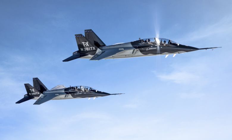
Boeing has announced that it has been awarded a $9.2 billion contract to supply the company’s T-X advanced pilot training system to the U.S. Air Force. The funds will cover 351 new T-X combat training jets, associated ground equipment and 46 simulators, Boeing says. The company developed and tested the T-X in partnership with Saab. […]