












Get The Lead Out
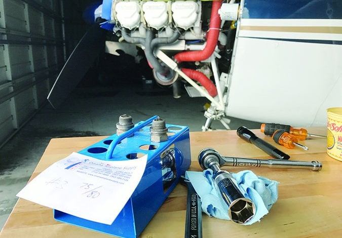
There is a fundamental reason we perform preflight run-ups and engine checks before takeoff: It is a whole lot better to find problems at 1G, 0 feet AGL and 0 knots airspeed than it is while airborne. Making sure a powerplant will work as we intend before taking off is just good airmanship. A good […]