
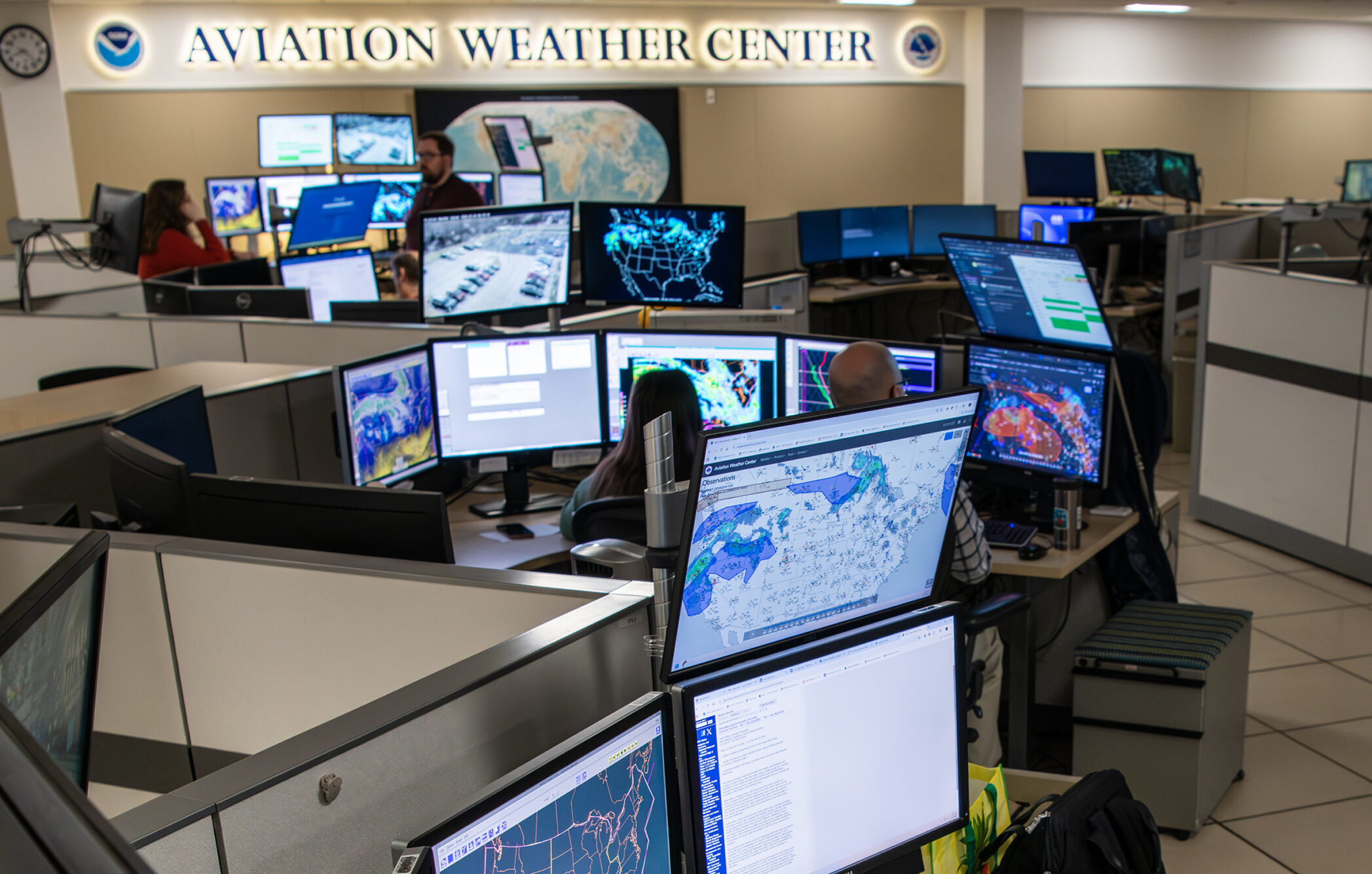
NOAA said Monday a new Domestic Aviation Forecast System (DAFS) is entering operational use, bringing updated forecast guidance for airplane icing and turbulence across the contiguous United States. The system was developed with funding from the FAA’s Aviation Weather Research Program and is transitioning from NOAA Research into operations at the National Weather Service’s National Centers for Environmental Prediction.
“This is the culmination of extensive research and years of work that gets right to the heart of our aviation forecast mission supporting passenger safety and the aviation industry,” Terra Ladwig, acting chief of NOAA’s Global Systems Laboratory Assimilation, Verification, and Innovation Division, said.
According to NOAA, the new system is based on the agency’s High-Resolution Rapid Refresh (HRRR) model, which updates hourly on a 3-kilometer grid and incorporates three-dimensional radar data every 15 minutes.
NOAA said the system replaces earlier icing and turbulence guidance generated from models using a coarser 13-kilometer grid. The agency said the added horizontal and vertical detail is expected to improve forecasts of changing weather conditions along a flight path, including those tied to precipitation and thunderstorm development.
“The enhanced horizontal and vertical resolution provides more detailed forecasts, which potentially gives pilots more options to navigate around hazards,” Curtis Alexander, deputy director of NOAA’s Global Systems Laboratory, said.
NOAA said the updated system includes forecasts for in-flight icing probability, severity and supercooled large droplet conditions for the contiguous U.S. and Alaska. It also expands turbulence guidance to cover low-level turbulence, clear air turbulence, mountain wave turbulence and turbulence within clouds associated with both small and large storm systems.
A National Weather Service service change notice said DAFS v1.0 became effective Monday and that the system is now integrated into a suite of aviation weather products, including 3-kilometer Forecast Icing Product and Graphical Turbulence Guidance output derived from the HRRR model.


Currently available only in 8Flight!
It would be nice if we knew where exactly to go to find this new information. Is it integrated at aviationweather.gov?