












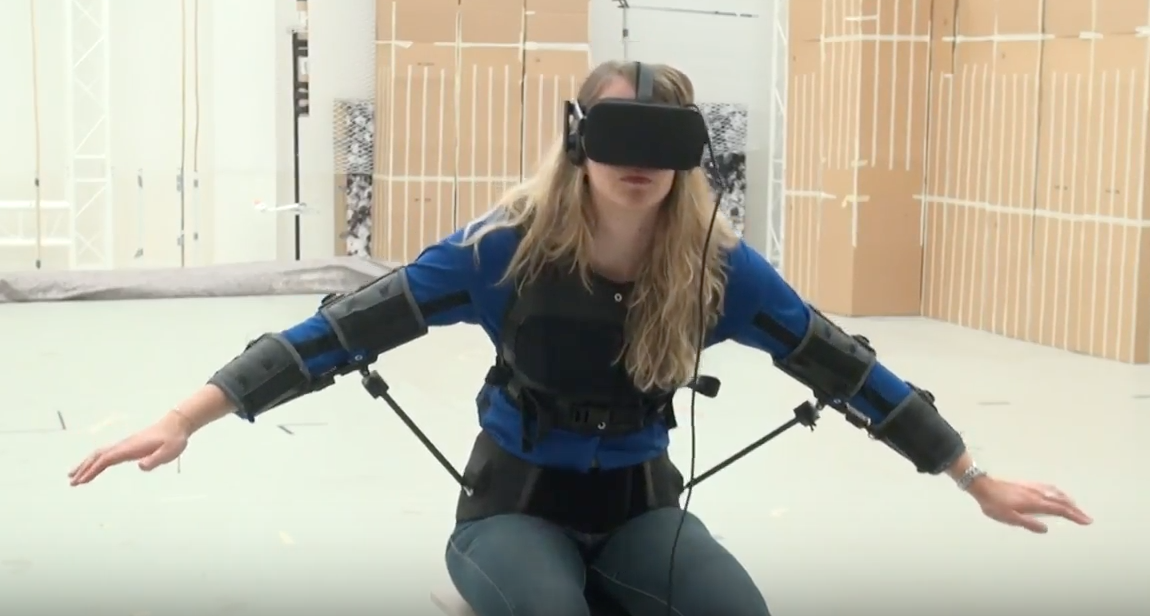
Using your torso to fly a drone is easier and more precise than a joystick, Swiss researchers have found. “It’s immersive, and easy to learn, and gives you the feeling that you are flying,” says Jenifer Miehlbradt, from the Swiss Federal Institute of Technology in Lausanne. The researchers’ aim was to design a control method that requires less mental effort from pilots, so they can focus on their mission, such as search and rescue. The researchers monitored the body movements of 17 people, via 19 infrared markers placed on the upper body. Each participant followed the actions of a virtual drone through simulated landscapes viewed through virtual reality goggles. The engineers found that just four markers on the torso were enough to effectively pilot both flight simulators and real drones through a circuit of obstacles.
The engineers then developed a flight “jacket” that enables the pilot to control the drone without the use of external motion detectors as used in the lab experiments. The Fly Jacket, which has embedded motion sensors, enables the pilot to control their drone intuitively with their body movements—such as leaning forward and backward and pivoting their upper body—rather than with a hand-held device. The jacket also frees the pilot’s hands for other tasks. For example, the researchers said, data gloves could be worn to give additional commands to the drone, such as takeoff and landing, or to indicate points of interest seen from the drone perspective that would immediately appear on a map. “This could be very useful for firefighters or rescuers to quickly and precisely identify locations where help is needed,” said Dario Floreano, leader of the research team.