















Alaska Air National Guard crews rescued three occupants of a Cessna 180 following an Aug. 18 accident near Bettles, Alaska, about 200 miles northwest of Fairbanks. The Alaska Rescue Coordination Center opened the mission after receiving a signal from the aircraft’s 406 MHz emergency locator transmitter and requested assistance from the 176th Wing.
Updated Coordinates
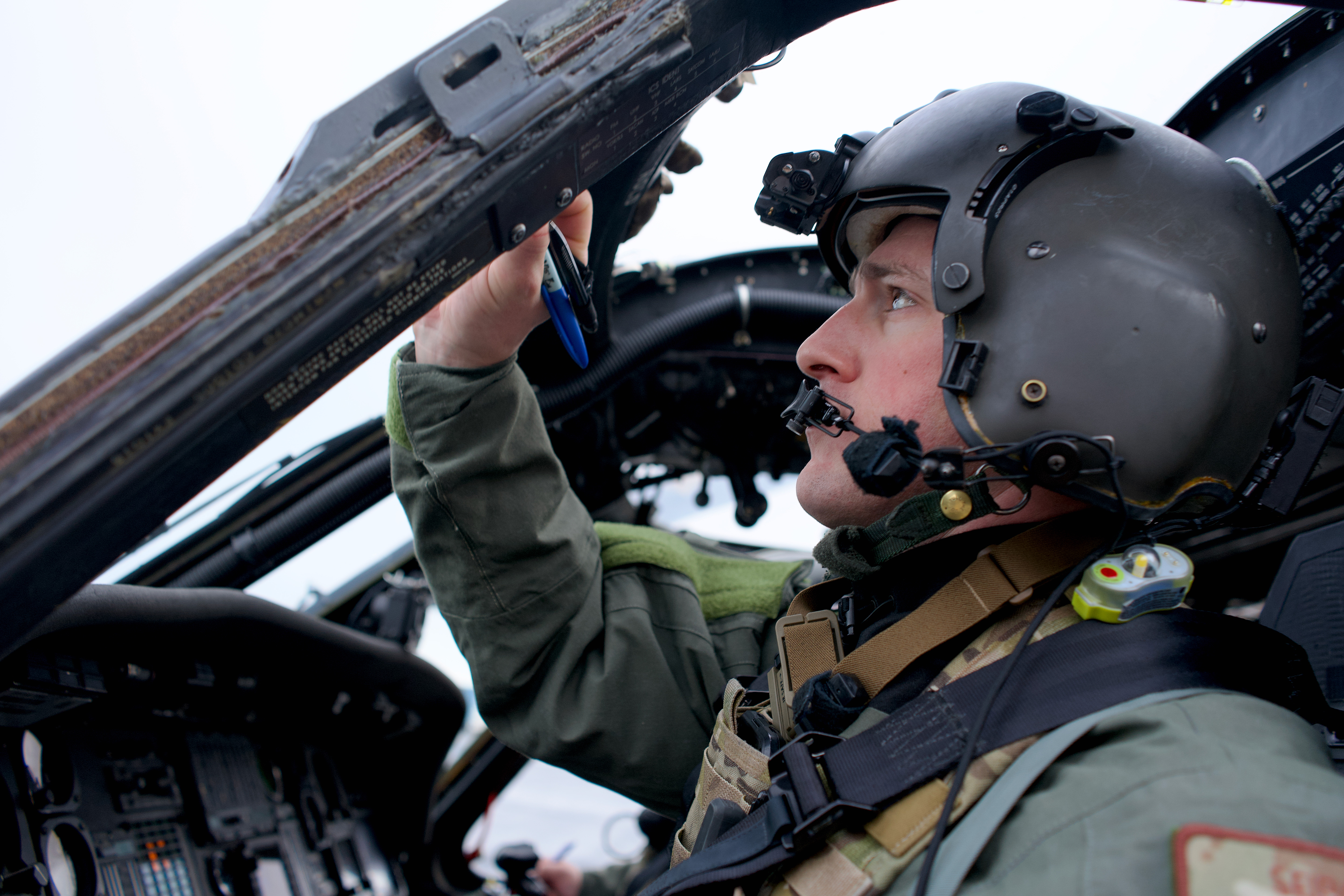
A 210th Rescue Squadron Detachment 1 HH-60W Jolly Green II departed Eielson Air Force Base carrying pararescuemen from the 212th Rescue Squadron. While the helicopter was proceeding toward the position transmitted by the ELT, the crew received updated coordinates from a commercial two-way satellite communication device used by the aircraft occupants. The occupants had sent the location to a Bettles lodge owner, who relayed it to the rescue crew.
“It minimizes the time searching for someone in the Alaska wilderness,” Maj. Tyler Seibold, a 210th Rescue Squadron pilot, said in an Alaska National Guard release. “So, if their medical condition is dire, that is extra time that we can get treatment on the patient.”
Three Transported To Fairbanks
The helicopter crew located the accident site and lowered the pararescuemen to the ground a short distance from the occupants to reduce rotor-wash exposure. One occupant was placed in a Stokes litter and hoisted aboard the helicopter before the other two occupants were recovered. All three were transported to Fairbanks Memorial Hospital.
According to Seibold, a satellite communication device can sometimes provide rescuers a location accurate to within about one-tenth of a mile, while coordinates from a 406 MHz ELT can require crews to search an area extending a mile or more. He also noted that many satellite devices can exchange text messages when paired with a smartphone, allowing rescue personnel to obtain information about occupant condition and conditions at the accident site before arriving.
“[The plane’s occupants] did everything they could by the book, and that really cut down on how long it took us to get to them and get them to a higher level of medical care,” he said.

0 replies