
















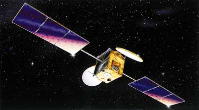
The Malaysian government has released satellite data that was used to determine that Flight MH370 went down in the southern Indian Ocean but critics say it might not be of much use. The 47 pages of calculations from the log of an Inmarsat satellite that received signals from the 777 were released in PDF form, rather than the raw data that was expected, and parts had been redacted. Malaysian officials said the redactions were to remove irrelevant data but the community of experts that can analyze this material have made it clear they want the full file of raw data before they can make any solid conclusions. They also say it may advance more conspiracy theories rather than quell those already out there.
The satellite in question isn’t set up to track its targets, merely relay data from its automated monitoring systems. But Inmarsat said it applied Doppler principles and other physics to determine the aircraft took the so-called “southern route” and likely crashed off the west coast of Australia. Scientists all over the world were anxious to get their hands on the satellite data to see if they could confirm or refute the earlier conclusions. “There are lots of gaps in the ‘readable summary,’ ostensibly to remove extraneous info, but surely it should be up to the global community to decide what is and isnt extraneous?” the techy website ExtremeTech opined. For their part, Inmarsat and the Malaysians are saying the data is being released for transparency, not verification.