
















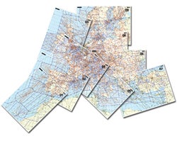
 Pilots flying in the Caribbean, Hawaii, and Central or South America will soon have to find a source for aeronautical information other than the U.S. government, AOPA said this week. The National Geospatial-Intelligence Agency, which now publishes charts for those regions, will stop publishing them in October. AOPA has been lobbying the FAA to take over that chore, but so far the FAA has not made any commitment. “The FAA has a legal responsibility for providing the navigation products to ensure safety and efficiency,” said Melissa Rudinger, AOPA vice president of regulatory affairs. The existing NGA Caribbean chart is good until Oct. 25. Thierry Pouille, owner of Air Journey, who guides groups of pilots on flights in the Caribbean region, says the loss of these charts would have an impact.
“Locally produced charts are usually available, but they are often more expensive and may not be updated very frequently,” he told AVweb on Wednesday. The NGA also publishes en route charts, supplemental flight information, and instrument approach procedures. The loss of this public information will adversely affect security and safety and have a negative economic impact on civil aviation, AOPA says.