














From AVweb reader Erik Eriksson
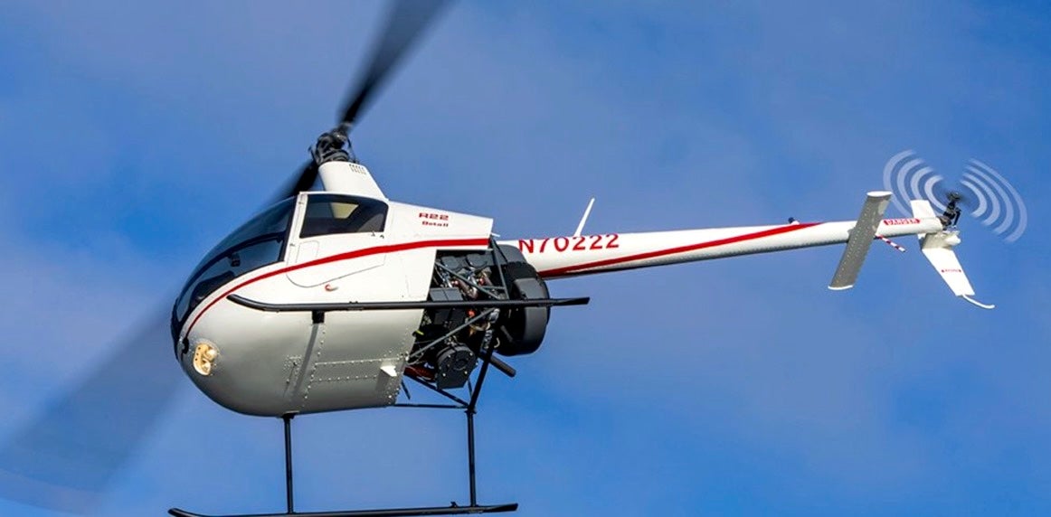
Rounding out my 1980s helicopter training in a Robinson R-22 in Maryland, my instructor upped the game by sending me on one final cross-country flight, including a landing at Dulles International.
As I got close to the airport and Potomac Approach established my position, the following conversation ensued:
Approach: Maintain current heading, intercept and follow radial XXX AML VOR.
Me: Negative VOR, Sir.
Approach: In that case maintain current heading, intercept and follow radial XXX Georgetown NDB.
Me: Negative NDB, Sir.
Approach: WHAT DO YOU HAVE THEN?
Me: I have a compass, a VFR map, and a thumb, Sir.
Approach directed me to follow XYZ highways and, upon passing a gas station, to call in from the right side of the highway. It all worked out as planned.