
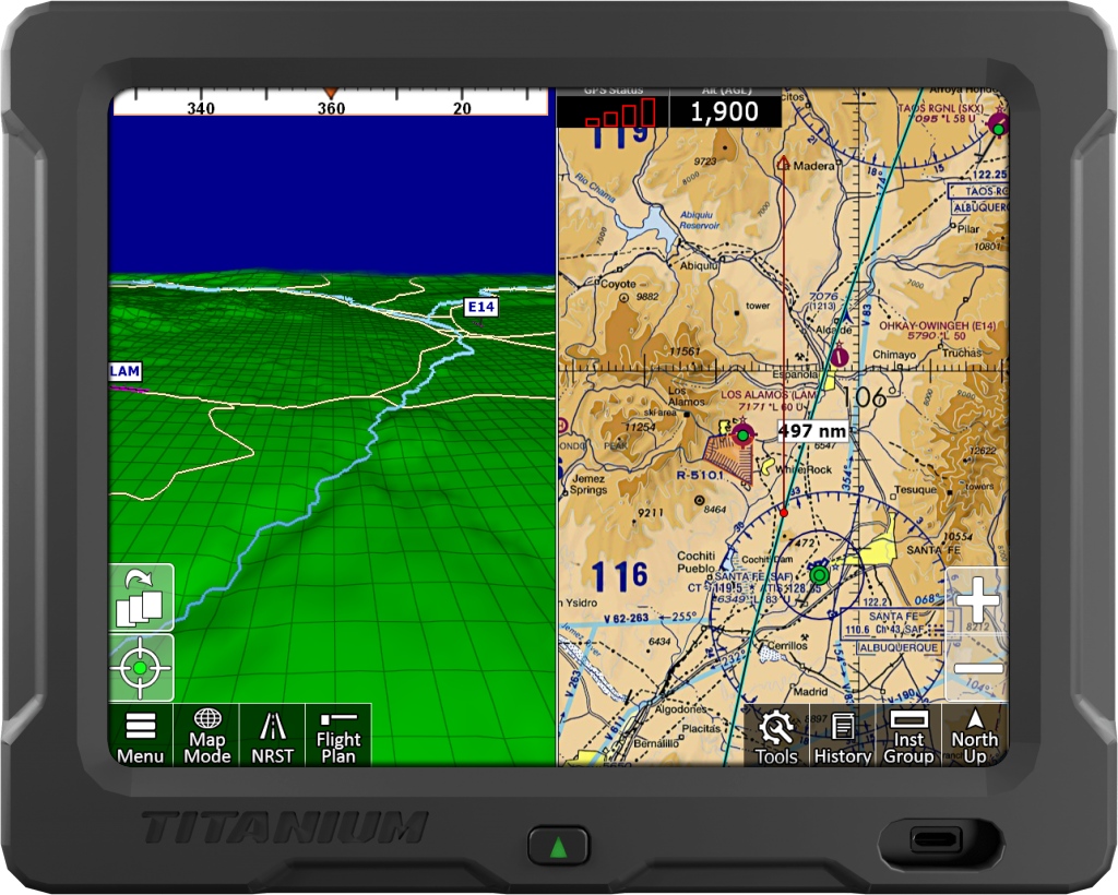
iFly EFB creator Adventure Pilot and Ag-Nav have introduced an integration that brings the EFB navigation platform into Ag-Nav’s Titanium aerial application system for ag pilots. Announced Friday, the update links the full iFly interface with mission tools inside the Titanium display. The integration enables cross-country routing and project-site navigation from the same screen. According to the companies, the connection supports wireless loading of pre-generated flight plans with no waypoint limit for complex routes.
The integration is intended to help ag pilots increase situational awareness and reduce risk. Pilots can switch between iFly’s EFB navigation functions and the Titanium system’s application tools with a tap. The companies said the setup is the first instance of pairing professional aerial application tools with real-time situational information from a general aviation-focused EFB. The integration also supports ADS-B sourced weather and traffic overlays.
“By bringing powerful navigation charts and flight planning directly into our system, we’re saving operators thousands of dollars and valuable cockpit space that would otherwise be taken up by separate auxiliary equipment,” said Ag-Nav President Fred Ramirez. “It’s a smarter, safer and more efficient way to fly.”
iFly EFB is also available as a GA-focused standalone electronic flight bag for Android, iOS, and Windows devices. The suite includes VFR and IFR charting, synthetic vision and ADS-B weather and traffic displays. The app supports flight planning features including automatic VFR routing, vertical profiling and geo-referenced procedures, along with satellite airport imagery and taxi guidance. Its interface is designed to provide broad compatibility across platforms, allowing pilots to manage navigation and planning from a range of cockpit setups.


0 replies