Weather intelligence company Meteomatics has joined NOAA’s National Mesonet Program to provide operational weather data collected by drones to the National Weather Service. This marks the first time such data will be made available through the program.
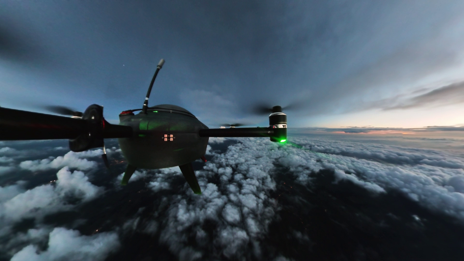
The company’s Meteodrones will gather atmospheric data between 50 and 20,000 feet above ground, which will be integrated into forecasting operations through collaboration with KBR, the National Mesonet Program’s prime contractor, and Synoptic Data PBC, the program’s lead subcontractor.
“Public-private partnerships like the National Mesonet Program are essential to expand national weather observing capabilities,” Meteomatics CEO Martin Fengler said. “Our Meteodrones were designed for exactly this purpose, strengthening forecasts with previously inaccessible data to prepare and protect nations.”
The company said the drones are designed to collect vertical profiles of temperature, humidity and wind, providing additional information on weather conditions that influence events such as thunderstorms, fog, winter precipitation and low-level winds.
This is not the company’s first foray into federal weather observation testing. Meteomatics said last month that it has also partnered with the U.S. Navy to provide ship-launched weather observation services for maritime operations.
As part of an initial pilot project for NOAA, the company will conduct routine flights from a remotely operated “Meteobase” in Oklahoma through April 2026, with flights managed from a centralized operations center, the company said.
“This partnership marks a major step forward in advancing NOAA’s long‑standing goal of enhancing vertical profiling across the U.S. observing system,” said Ellen Cousins, KBR’s NMP program manager. “By integrating drone-collected data into national forecasts, we are helping fill critical gaps in the lower atmosphere while strengthening public-private collaboration in operational weather observation.”