

A fatal helicopter accident earlier this year has drawn attention to a unique community resource that could help pilots with low-altitude flight planning: a publicly maintained slackline map.
On Jan. 2, a helicopter struck a slackline stretched across a canyon near Superior, Arizona, killing the pilot and three passengers. The National Transportation Safety Board continues to investigate the crash, which has renewed discussion about obstacle awareness for rotorcraft and other aircraft operating off-airport or at low altitudes.
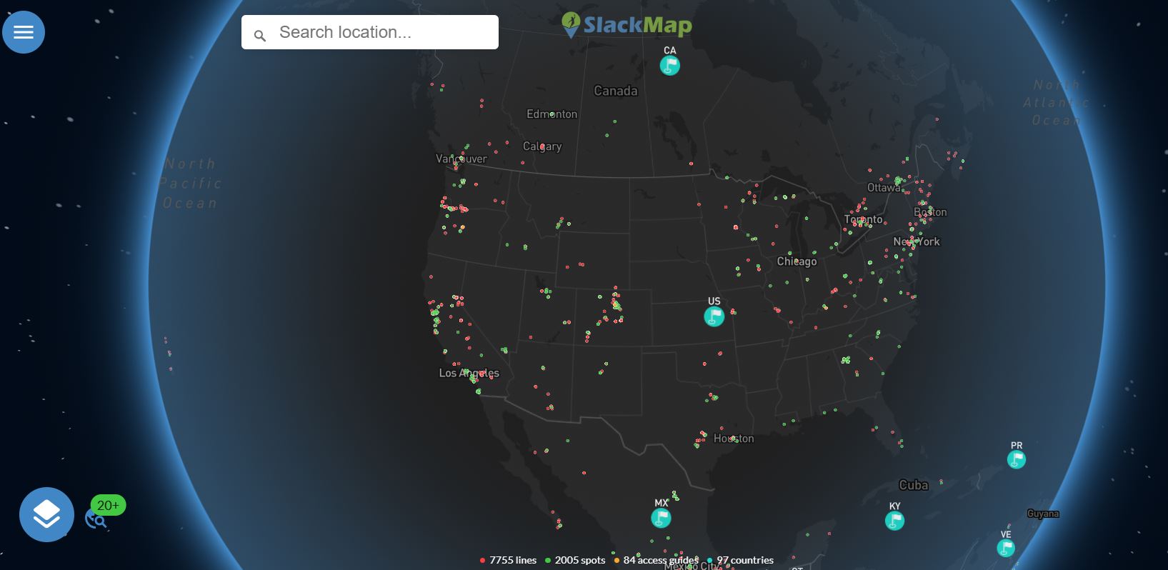
In the wake of the crash, Vertical Aviation International (VAI) has encouraged the industry to make use of SlackMap, a publicly available, community‑maintained map originally developed by slacklining enthusiasts to log known slackline locations. While not an official aviation hazard database, VAI says it may help pilots identify temporary, hard-to-detect obstacles that are sometimes absent from traditional sources such as NOTAMs.
The map depends on voluntary contributions from users to track slackline locations. VAI stresses that SlackMap should never replace official FAA guidance or standard safety briefings, but it can provide an additional layer of situational awareness—particularly in areas with recreational activity that may not be charted.
“VAI encourages pilots, mission planners, and operators—particularly those conducting low-level, off-airport, or special-mission operations—to consider using SlackMap as a supplemental-awareness tool,” the organization stated.


0 replies